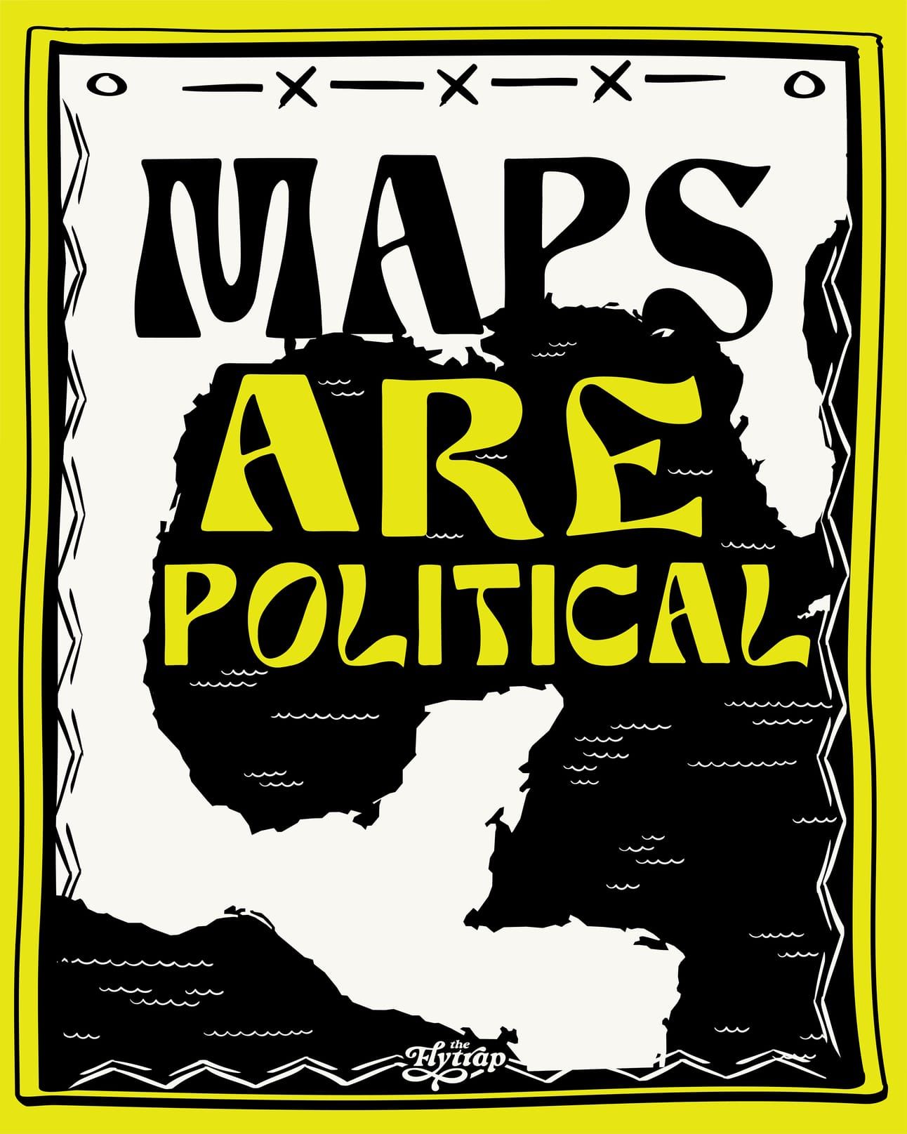
Maps Have Always Been A Colonial Tool of Expansion—Techno-Fascism Is Making It Worse
How are the colonial applications of cartography, mixed with growing techno-fascism, helping Donald Trump's expansionist agenda?
Editor’s Note: This story includes mentions of colonization and genocide.
In the lead-up to his second inauguration, Donald Trump made no secret about his desire for territorial expansion of the United States. In addition to threatening to annex sovereign territories such as Canada, Greenland, and the Panama Canal, Trump marked his first day in office by signing an executive order renaming landmarks to those that “honor American greatness.” Trump’s order decreed that the Gulf of Mexico should be renamed the “Gulf of America,” and Mount Denali in Alaska should henceforth be called “Mount McKinley.”
Following this executive order, Google began relabeling the body of water between the United States, Mexico, and Cuba as the “Gulf of America.” Fellow software giants Apple and Bing followed suit. The change was highly controversial, with Mexican President Claudia Sheinbaum demanding Google reverse course.
“If a country wants to change the designation of something in the sea, it would only apply up to 12 nautical miles,” she said in a press conference, referring to the United Nations Convention on the Law of the Sea. “It cannot apply to the rest, in this case, the Gulf of Mexico. This is what we explained in detail to Google.” In February, Google replied that it applies name changes based on the Geographic Names Information System, which was updated following Trump’s executive order.
More than one billion people use Google Maps each month, and the information displayed undoubtedly shapes each user’s perception of the world. It is a common practice for Google to display different geographical information based on location, especially when a name is considered contentious. The company has officially confirmed that if an official name varies between two countries, users will see the name used by their local government. If a user is outside of both countries in question, then they will see both names.
This location-based display also extends to disputed borders. In India, Kashmir is surrounded by a solid black line, marking it as part of India. However, in Pakistan and the rest of the world, Kashmir’s borders are represented by a dotted black line, indicating that it’s a disputed territory. On Apple Maps, Crimea is shown as part of Russia for Russian users and as Ukrainian territory for the rest of the world. While USians see “Gulf of America,” Mexican users still see “Gulf of Mexico.” From my location in the United Kingdom, the body of water is referred to as “Gulf of Mexico (Gulf of America).”
If there is one thing I’ve learned from my undergraduate degree in geography, it is that maps are fundamentally political. The sociopolitical context in which the map is created shapes the stylistic elements of the map as well as which information is included or excluded.
A name change on a map may seem inconsequential compared to Trump’s other policies, but the strong reactions from people who both agree and disagree with the decree shows the clear symbolic impact this change has had. And while symbolic changes may seem minor, history shows this is often the first step toward legitimizing further repression.
Learning From History
Long before Google Maps existed, colonial powers used maps to subjugate the communities inhabiting the places they were attempting to occupy. For example, early European explorers and cartographers played an instrumental role in facilitating the process of colonizing the continent of Africa and extracting its resources. Their maps conveyed key information about routes, topography, and political landmarks that helped other Europeans understand the potential for exploiting these peoples and their land.
These cartographers employed stylistic elements to further legitimize the prospect of colonial domination. Areas of the continent not yet mapped by Europeans were left blank to imply that these lands were open for European conquest. Other maps were even more explicit in their colonial intentions: Georges Rolland’s 1890 map “L’Afrique française, Ce qu’elle est - ce qu’elle doit être” (French Africa, What it is - What it must be) mapped both territories currently under French control and those that “must” be conquered to strengthen France’s power in Africa.
Rolland_Georges_btv1b84460624.jpg?ref=theflytrapmedia.com)
Maps are often perceived to depict the objective reality on the ground, but sometimes it’s the maps that create reality.
At the 1884–85 Berlin conference, European powers such as Great Britain, France, Belgium, and Germany famously divied up the African continent with no regard for existing cultural and linguistic communities. This set the stage for the period known as the Scramble for Africa, where 90% of the continent was violently brought under the control of a European empire by 1914.
Even after European powers officially left Africa in the 1940s, their borders remained in place, dividing many ethnic and cultural communities.
The repercussions from this partitioning are still felt today. Research has found that civil conflict is significantly more prevalent in areas where ancestral homelands are partitioned by a national border—a continuation of the violence imposed by artificial colonial borders.
Similar cartographic techniques have been employed by British, Israeli, and American institutions to dispossess Palestinians of their land. Early British and Zionist maps of Palestine seldom depicted existing Palestinian settlements, reinforcing the idea that Palestine was a “land without a people” and therefore open to Jewish settlement. Google Maps has also been accused of erasing Palestinian presence and land claims in its software, as it has no label for Palestine, frequently leaves out Palestinian villages, and prioritizes illegal Israeli settlement routes inaccessible to Palestinians in its road directions. Conversely, some airlines operating out of countries which don’t recognize Israel, such as Qatar Airways, don’t include Israel on their flight maps.
Following Israel’s most recent invasion of Gaza in October 2023, Israeli right-wing and settler organizations as well as Trump himself have proposed maps for new Israeli settlements in occupied Palestine and South Lebanon, predicated on the genocide and mass displacement of Palestinian and Lebanese communities.
In the context of Trump’s presidency, using the “Gulf of America” label in the U.S. is undoubtedly a political choice, but it’s far from the first time Google Maps made such a change. Maps are often perceived to depict the objective reality on the ground, but sometimes it’s the maps that create reality. For example, in 2010, Nicaragua occupied a small piece of Costa Rican territory after Google Maps incorrectly depicted the border between the two nations. Google provided Nicaragua with justification to launch a military incursion.
Cartography: The Means of Construct
In the Americas, the modern-day borders—imposed by European colonizers—don’t reflect the numerous Indigenous nations that lived on the continent before Europeans arrived. Although many institutions across the U.S. and Canada recognize this history through land acknowledgements, sovereignty over the land remains largely concentrated in the hands of settler-colonial institutions. Colonial borders between the U.S., Mexico, and Canada continue to divide Indigenous homelands, subjecting Indigenous peoples to violent border enforcement when traveling through their own lands.
Trump and his allies view “American greatness” as celebrating settler-colonialism and American imperialism while officially suppressing any narrative that points out the violence wrought by the United States’ existence. This is evident in his decision to rename Denali—the original name used by the local Koyukon Athabascan people—to “Mount McKinley.”
By complying with Trump’s order, mapping platforms are helping to legitimize these new names, and by extension, Trump’s expansionist agenda.
When interrogating the role maps historically played in facilitating colonization and subjugating marginalized groups, we should be paying attention to changes made at the behest of the Trump administration. Maps, often viewed as a neutral representation of the world, convey a certain sense of authority, especially when those maps are adopted by household names such as Google, Apple, and Bing.
While these corporations, including Google, are primarily concerned with their bottom line, a platform with such influence should be committed to not avoid reinforcing unjust systems. Large mapping platforms shape our perception of the world and could instead use that influence and authority to uplift decolonial and anti-oppressive cartographies. By complying with Trump’s order, mapping platforms are helping to legitimize these new names, and by extension, Trump’s expansionist agenda. If they’re willing to change a name, will they continue to comply if and when the Trump administration takes further action to expand U.S. territory, as he’s threatened?
Cartography has played a significant role in facilitating oppression from the colonial era to the present day. At the same time, communities disenfranchised by colonial cartography have reclaimed these technologies to advance their struggles for liberation. Generations of Palestinian mapmakers have worked to map Palestinian settlements erased by Israeli and Western cartographers, document Israel’s ongoing genocide, and visualize a liberated Palestine. These efforts preserve this history of Palestinians’ existence on their land, and allow them to imagine and plan for futures free of occupation.
In a similar vein, initiatives such as Native-land.ca map the world according to Indigenous homelands, challenging our perception of the world through colonial borders. This highlights the arbitrary nature of modern borders while also reminding us of the violence involved in their creation and maintenance.
When used in the right way, maps have potential to be a powerful tool to challenge systems of oppression. They allow us to practice radical imagination, envision futures beyond the status quo, and share knowledge that challenges oppressive narratives. So, instead of following Google’s lead, cartographers must continue understanding how maps function as a political tool and harness their influence to foster radical change.
This piece was edited by Evette Dionne and copyedited by Christine Grimaldi.
Emma Bainbridge is a freelance journalist who enjoys maps, urbanism, and highlighting stories of resistance to fascism.